Generally, I am interested when absurdity is or becomes the form.
Oraib Toukan
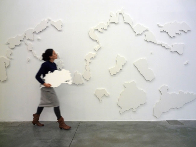
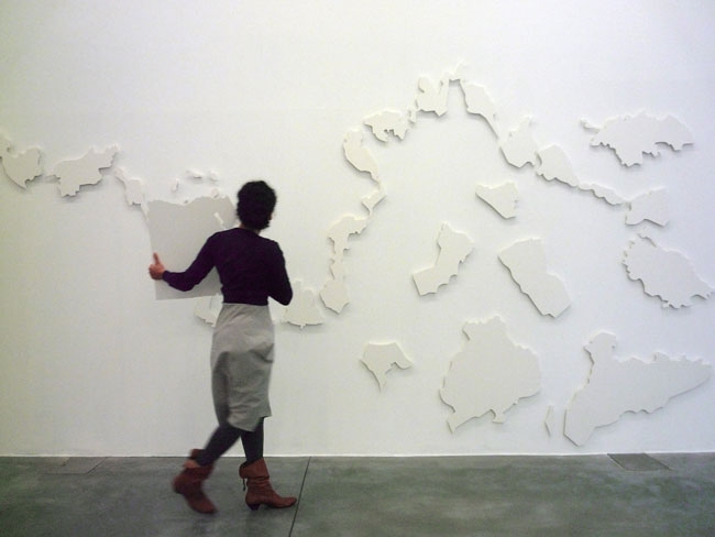
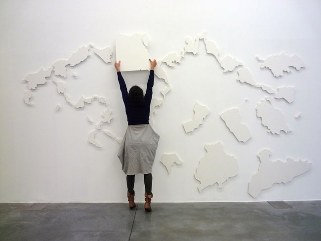
The New(er) Middle East consists of an interactive puzzle that engages the public to re-assemble a territorial map of the Middle East made from suspended plastic-magnet bits. The bits are fragments of the region's actual nation states.
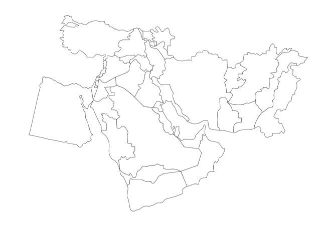
The work is a play on the so-called ‘New Middle East Map’ a plan that has been frantically distributed in various conspiracy theory circles and in some mainstream media since its inception in June 2006. The map was originally suggested by retired United States Army Lieutenant Colonel Ralph Peters, as his ‘proposition’ of ‘how a better Middle East would look.’ The puzzle was cut by overlapping his proposed map of the Middle East (Egypt to Pakistan) with the current, post World-War-II, map of the same area.
Follow us on: